Visualizations of Vieques with a focus on changes in the landscape over the last 150 years.
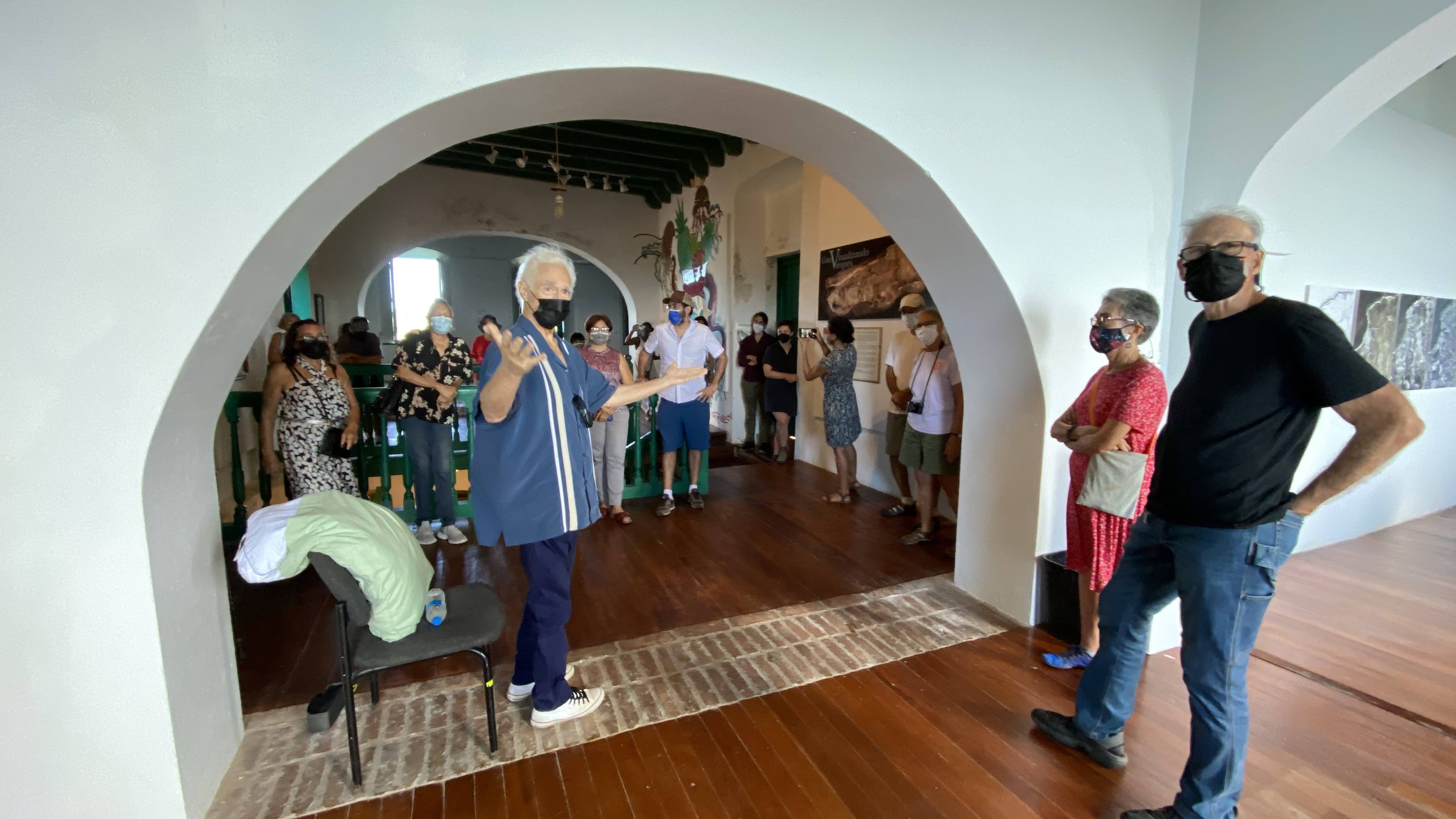
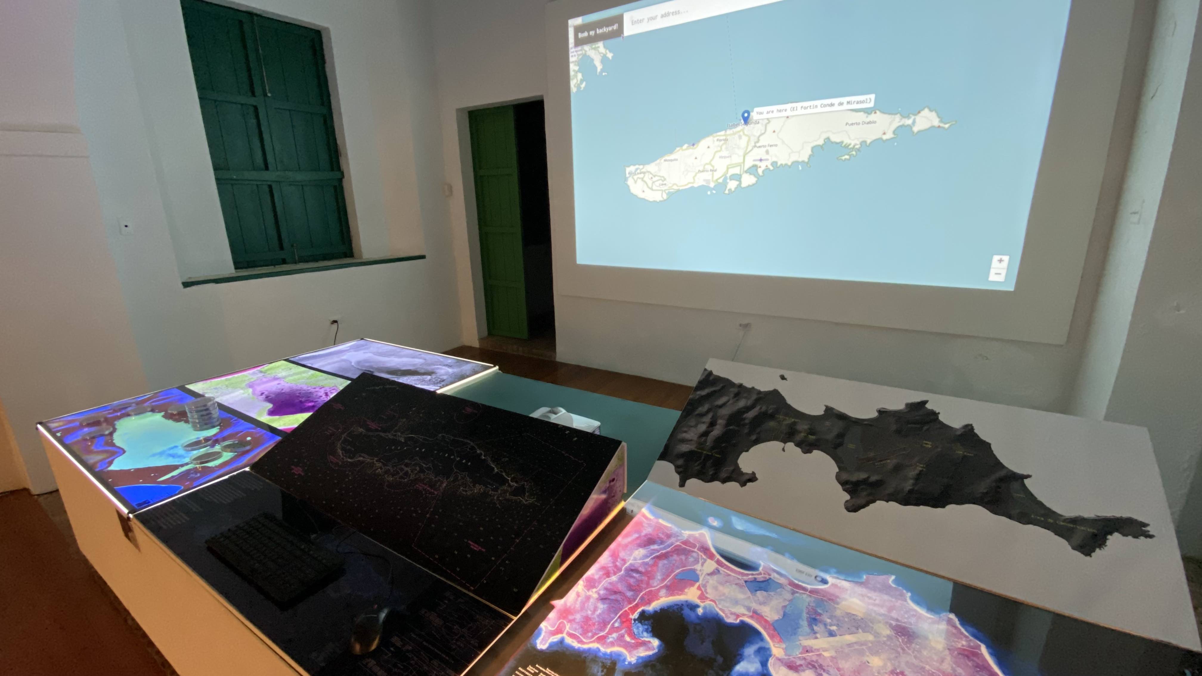
The exhibit Geovisualizing Vieques in the Museum Fortín de Conde Mirasol displays maps, aerial images, and visualizations of Vieques with a focus on changes in the landscape over the last 150 years.
The exhibit is divided into three sections:
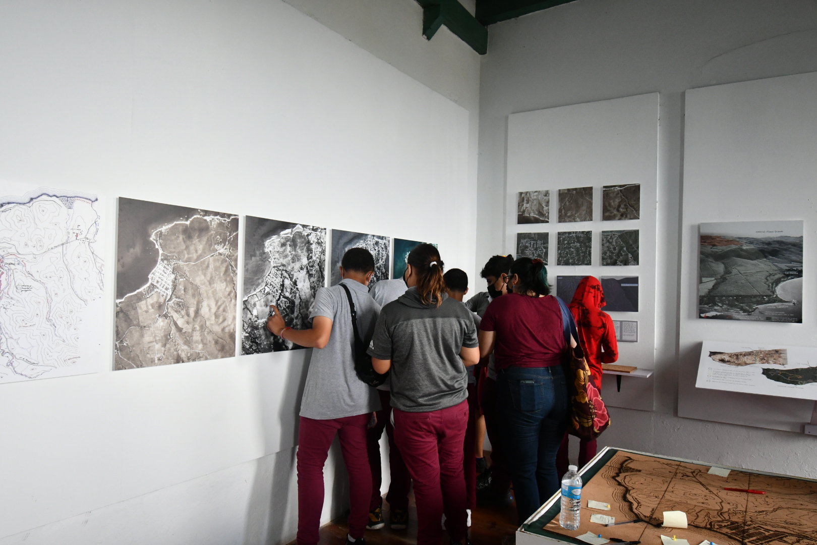
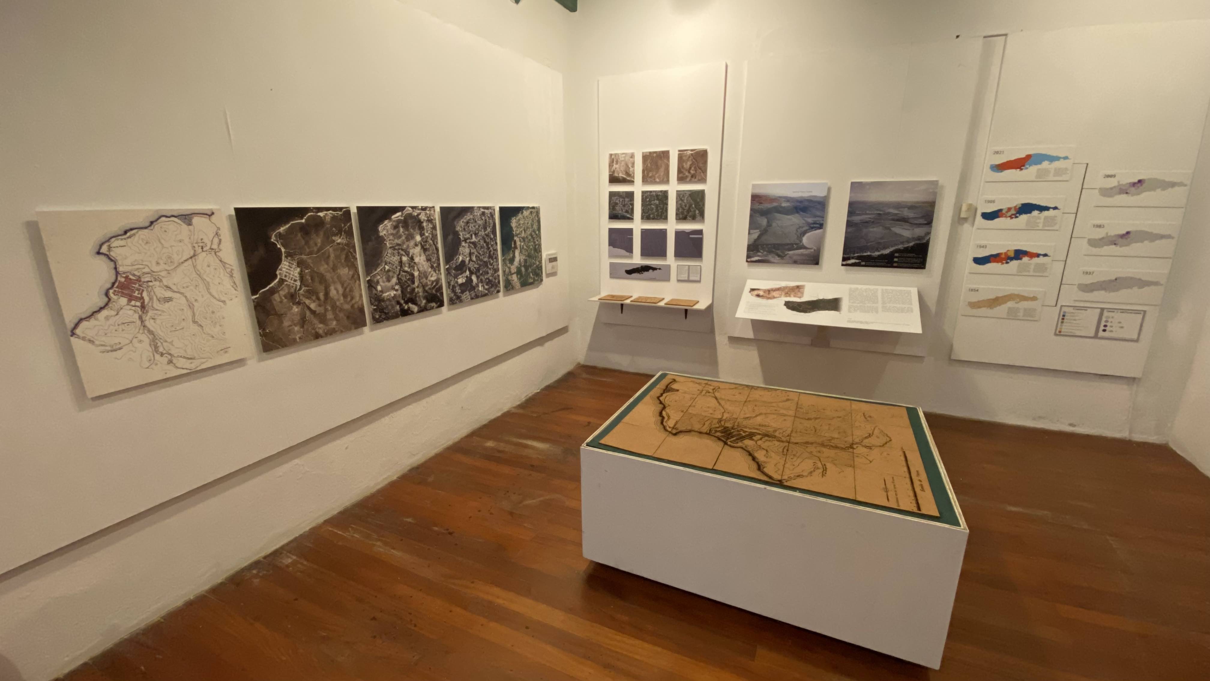
The first section focuses on how the inhabited spaces of Vieques have changed and are changing. These maps explore the historic displacement of farmers by the Naval occupation, the land reclamations, and the more recent changes caused by the new influx of tourists and new residents from the U.S. mainland.
The next section of the exhibit focuses on marine transportation. The windows overlook the Mulas Port in Vieques and the Ceiba Port, in Puerto Rico, two places representing a connection to health care and other essential services for Vieques residents.
The final section focuses on areas of Vieques that were used for military training. Special attention is given to thinking about how the concept of scale affects the way we understand processes. It is also a reflection on how patterns here in Vieques are connected to other places in the world.
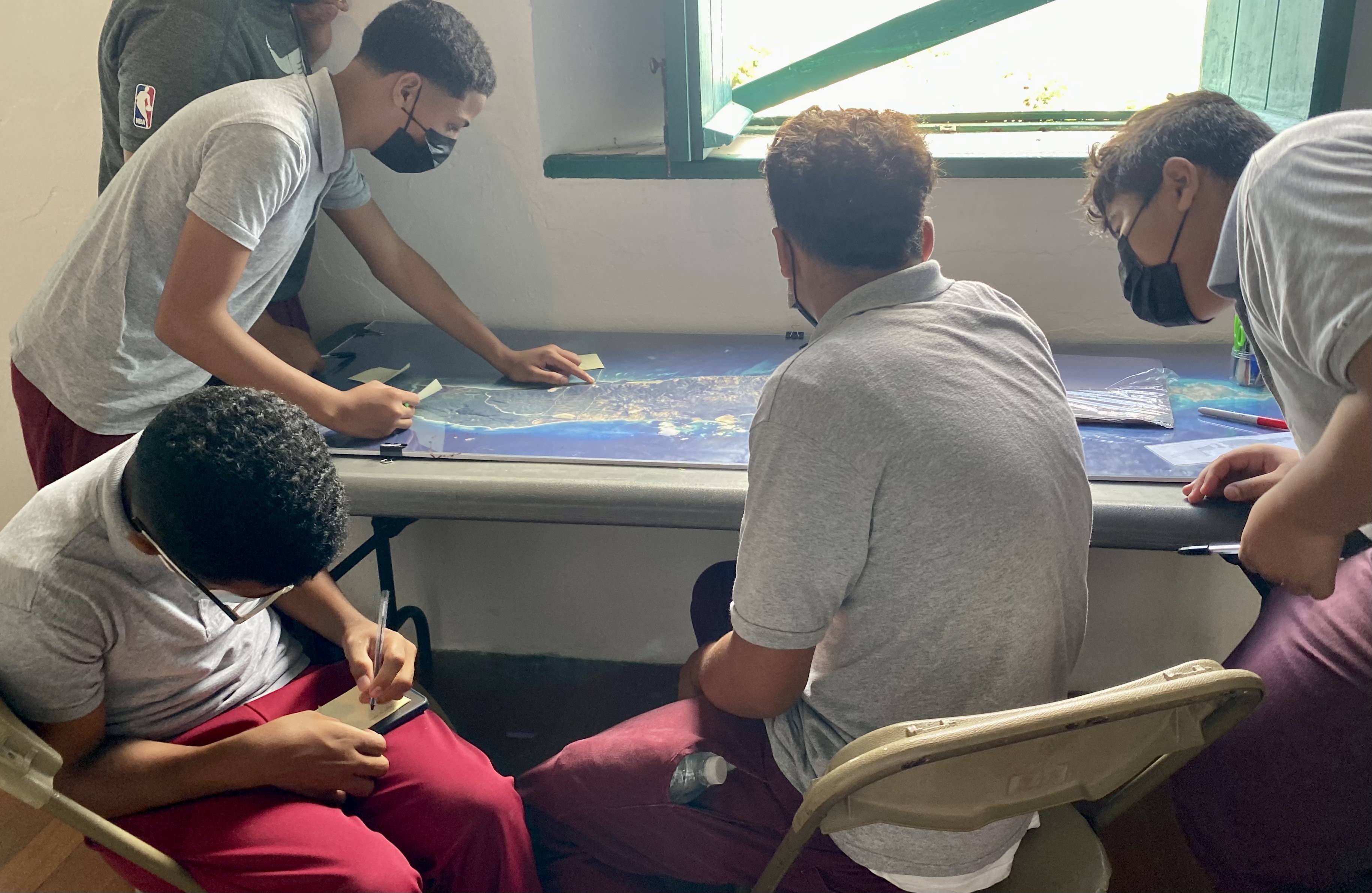
The materials in the exhibit are only a small part of the maps we hope to create. The lines and text that you can see in a map can define communities, they can separate or unite people and they can help groups to think collaboratively. These maps are unfinished and we present them as tools to add your own lines, text, ideas and stories. They are meant to spark conversations and new ways to think about space in Vieques.
The exhibit opened in December 2021 and ran until May 2022.